
Days 36-40
Girl's Night at Scott's
It's been a busy few weeks! Let’s try to remember where we left off… We had just passed through Hannibal, MO, and were on our way to St. Louis.

We wanted as much time as possible that afternoon off river to improve our chances of catching a local friend, so we got up at 4am to get on the river by 5:30 (we pack really slow). In the dark, we hit our paddles on a wing dam, which was scary but our boats glided right across. Buoys seemed to pop up out of nowhere - the night was quiet enough that we could actually hear the water gurgling around the buoys before we could see them. I was definitely regretting our decision to paddle before dawn.
Around sunrise, we noticed a barge trailing us, so we left the channel and hid behind an island while it passed. It worked pretty well, but when trying the same maneuver later in the day, I got stuck on a sandbar and had to get out and walk my boat.
We ate a really early lunch (9:30) at lock 25, where I left my water bottle behind - by the time I noticed, it was too far away to go back.

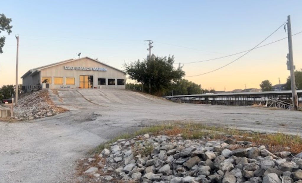
Marina manager Brian pulled up right as we got to the marina and gave us a key to the bathroom and boat ramp, then helped us haul our boats up to the shelter where we would be storing them overnight. He offered to bring us food or drive us to town, but we knew Scott was on his way, so we told him not to worry about us.

Scott and Kristen picked us up and drove us to their house where we started laundry, showers, etc, and let Mary know we'd arrived. She lives 40 minutes away, but came out to grocery shop with us anyway, then we hung out on the floor of Scott and Kristen's guest room for a while, before Mary needed to go home. Scott and Kristen took us out to dinner, then we came back and baked cookies and watched Midwestern classic Jerry and Marge Go Large1. Despite our best intentions, it was now after 1 am, so we quickly fell asleep.

Having stayed up late the night before, we slept in until 8, then made scrambled eggs for breakfast before Scott took us into town and dropped us off for some sightseeing. We started at the Gateway Arch - I'd never been to St Louis before, and didn't really know much about it. I was intrigued and a little confused by their explanation of the car that takes you to the top as a cross between an elevator, an escalator, and a Ferris wheel, so I looked it up after. Near as I can tell, they mean that the capsules are pulled along by cables like and elevator and the inner compartments are free to rotate so that the floor always points down like a Ferris wheel. Since the tram mechanism wasn’t designed until after the arch, it had to fit within the existing structure, which severely limited the options for how to do it.
It wasn't too crowded when we were there, but it was definitely getting busy by the time we were ready to leave.

We went to the old courthouse museum next, which had recently been redone, before walking to the city museum, stopping for lunch along the way.
I had never been to St. Louis before, so was wholly unprepared for the reality of City Museum: basically a giant playground weight rated for adults, the City Museum had 10 stories plus a roof deck of slides, towers, rope bridges and tunnels across various themes.

I think of myself as someone with no upper body strength, and I knew the month of sitting in a kayak all day every day was sapping both my lower body strength and my flexibility, but I was surprised to find it far easier to move around than I anticipated - almost like a month of paddling 10 hours a day is good conditioning or something.
The kids put us in our place right away, though, calling out to each other to warn them about the “old people blocking the path”. Harsh, but fair. They were frequently disgruntled to find us struggling through what they clearly thought of as “kid only” routes.
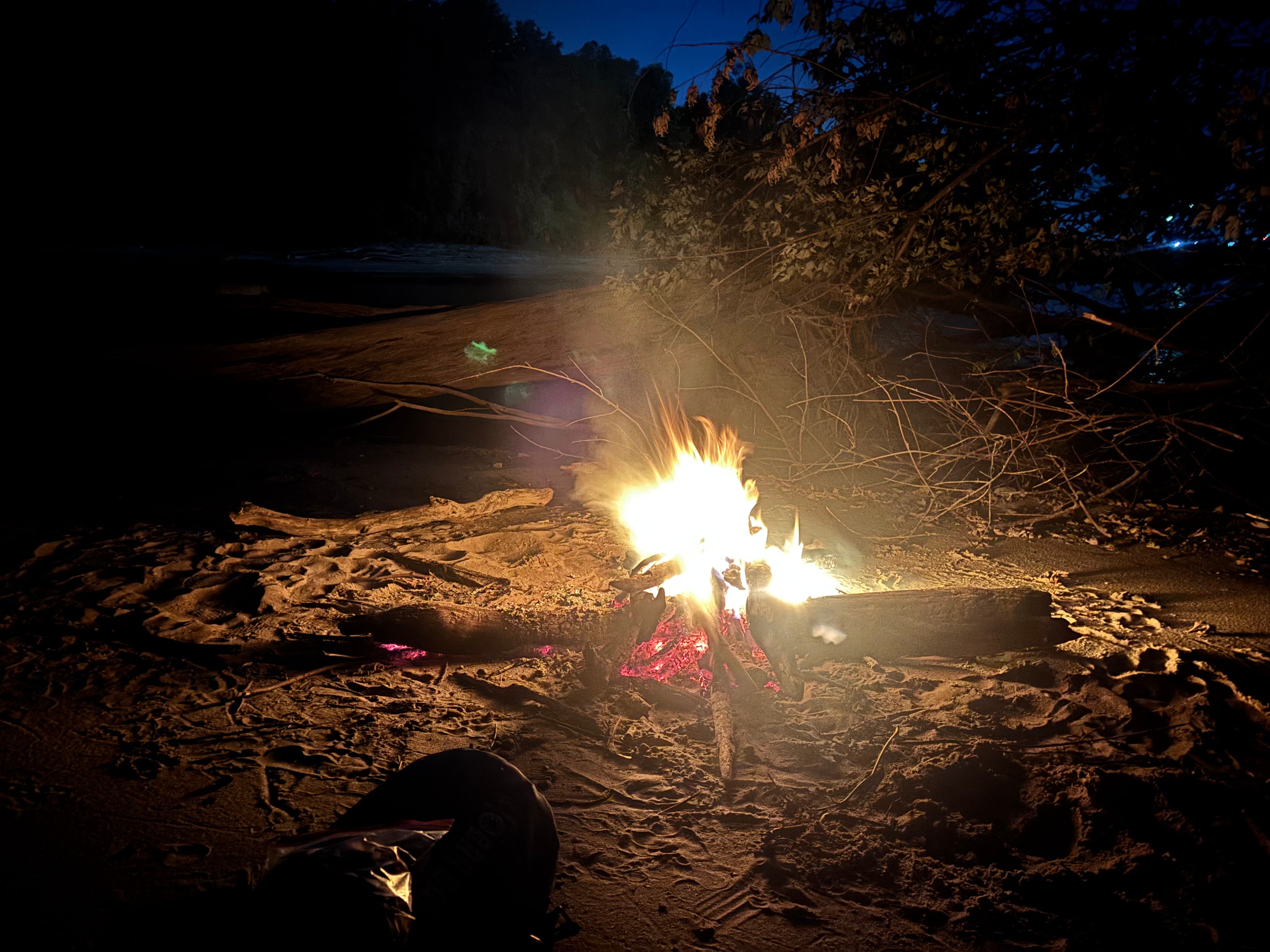
Scott and Kristen took us back to the marina that night, where we camped so that we could get an early start the next day - we had a couple of stops planned and really wanted to get to them in daylight.
The first of these stops was Piasa Bird - when Jacques Marquette was exploring the Mississippi River in 1673, he noted a pictograph on the shores of what is now Alton, Illinois that showed 2 of this scaly, horned creature with a human face and red eyes. The original pictograph is lost to time, but over the years, several portrayals of the Piasa Bird have covered the cliffs near Alton.
In the 1980s, a 9000 pound steel sculpture, installed by the Rotary Club, was installed to replace the murals (murals require constant upkeep because limestone is porous and the image wears away quickly). However, it lasted barely 10 years before its supports were too rusted to be safe along the cliffside, and has since been relocated to a local school several miles away. It was replaced by another mural of the mythic creature.
From the water, only the wing is clearly visible, and it’s not until we got closer that I understood what I was looking at.

This particular Piasa Bird guards a cave, with a shallow pool of standing water coating the entire floor.
Desperate to get the a museum before closing, we left our boats guarded by the Piasa Bird and Ubered to the Mel Price Lock and Dam, whose museum shared some information about the Mississippi River, barges, and locks. We were just a few days past the Illinois Confluence, and were rapidly approaching the Missouri Confluence. We just had this lock and then Chain of Rocks before the river should pick up considerably.


We just barely made it through the lock before dark, and even that only because we begged - there was slated to be a 4 or more hour wait, and there wasn’t really a good place to camp just north of the dam! Fortunately the lock operator took pity on us and snuck us in between barges. As soon as we were through, we crossed aggressively to the other side of the river, where we knew there was a good sandbar for camping. The water coming out after a dam is very turbulent, but by now we were used to it, and focused on our goal of getting to camp before it was too dark to pick a good landing spot, so we hardly noticed as we were pushed perilously close to the pylons protecting the lock from the main waterway.
Chain of Rocks was to be the last major hurdle. Early enough in the day we saw the bypass to the channel that that the barges would take and lock 27. We opted not to take that route, owing to our desire not to get squished like a bug along the edges of the canal - Because Chain of Rocks is an old rock dam (well, rapids that were turned into a rock dam), barges can’t exactly float over top of it, even in high water, and I would not want to be on the team trying to portage a barge, so a bypass channel was cut and a lock installed to allow commercial traffic to get through this section of the river. However, that bypass channel is meant for commercial vessels to enter and exit quickly - it wasn’t built for kayakers to spend hours getting close enough to radio the lock and beg for passage. Past paddlers, both who have gone the channel, and who have done the portage, have all unanimously recommended the portage, so that’s what we decided to do.
When we were approaching, we could hear the rush and gurgle of water, but still, it just looked flat - nothing to see. I was starting to get nervous (we had long since passed under the bridge that warned us of the dam) when the world warped in front of me. My eyes couldn’t agree on where the water was. I hugged closer to left bank, where we could see the takeout, trying to make sense of what I was looking at. I still couldn’t see the whitecaps, but the water was definitely at two different heights, starting somewhere soon - it looked like what happens in google maps when they join two satellite images that were taken at different times. It’s a good thing the takeout was so prominent, or we could have gone right over dam without noticing until it was too late!

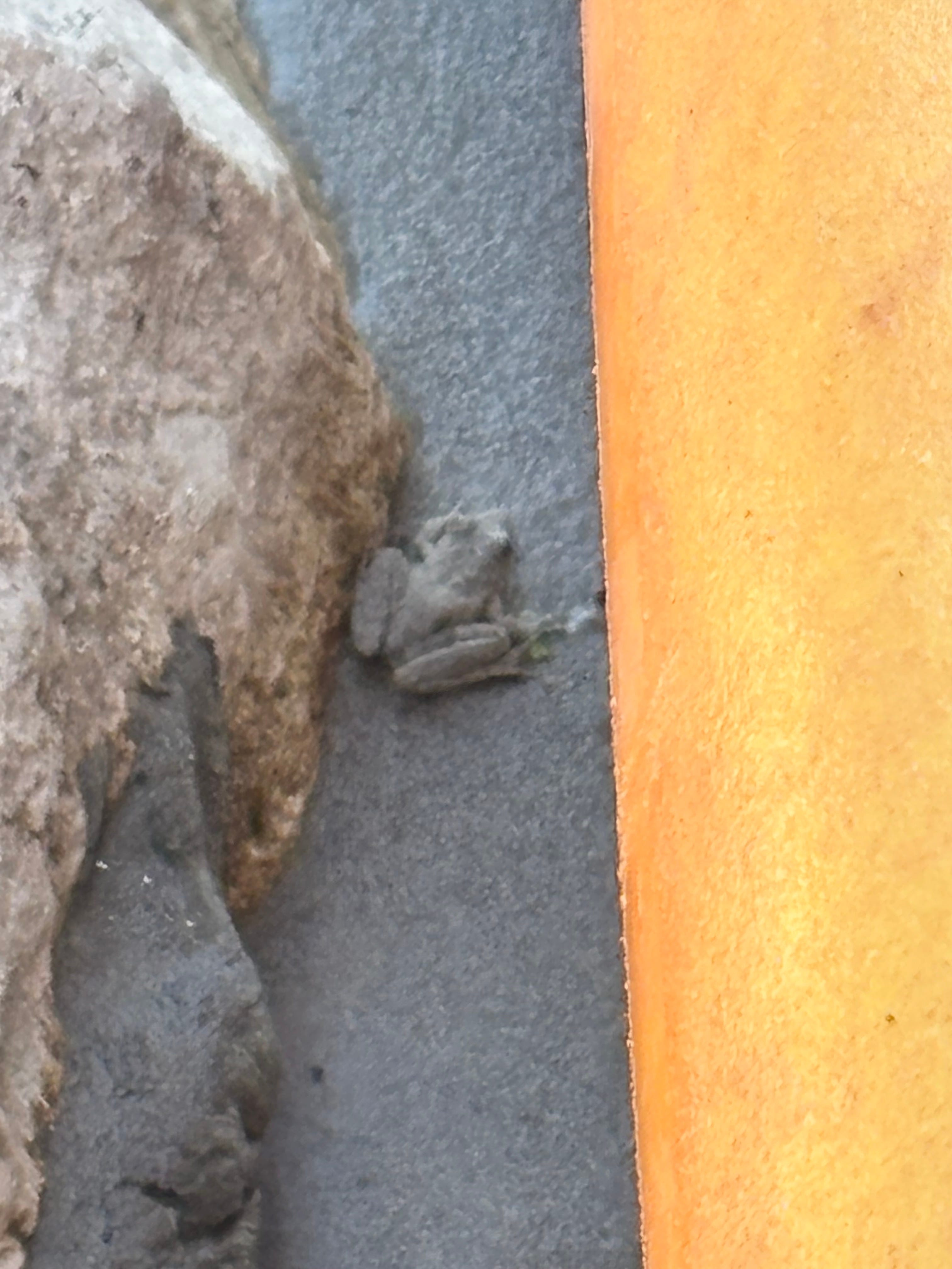
We were greeted at the takeout by dozens of tiny sand-colored frogs, and I would say more “stared at” than “greeted” by several fishermen who did not seem to appreciate us stirring up the fish. A tip to fishermen: the paddlers will get out of your way faster if you help them move their boats/gear.
We took lunch here, reveling in the completion of our final (or so we thought) portage. The St Louis skyline appeared up ahead, and it seemed we could see it forever before we were finally paddling through the town. We hardly noticed when we merged with the Missouri River, but the St. Louis Arch was not so easily overlooked. There were helicopter tours right along the water and several bridges on either side of the arch. I know the Arch is the “Gateway to the West” but still it feels weird to me, since it is such a big milestone along the Mississippi River, that we don’t get to paddle through it.

We were a bit nervous about the port of St Louis, having been warned about how busy it would be with barges, and that there was no place to camp or get out of the water. Maybe it was just because the water was so low, but we found several places that looked like good camping, and as for the barges - most of them weren’t moving.

Since this was our first day south of the locks (yay!), we weren’t sure if the water level would change more in the night, so we looked for a campsite with something we could chain the boats to. The bank wasn’t very steep, so we couldn’t pull boats up very far, and we weren’t sure if we’d wake up to find them bobbing around. We needn't have worried - the water level didn't move hardly at all in the night.
We were excited for our first full day of river unimpeded by locks the next day and were shocked to find how much of a difference it made where in the river we were: Even just 10 yards to one side could put one of us in a faster stream that sent them rocketing ahead.

At lunch, we saw a man with a large pile of supplies on the back of his boat. Suspicious. We paddled over - intent to know if he was a fellow thru paddler - and he was! He put in at Minneapolis and started about a week after we did, but we were both doing the same trip. We chatted with him as we paddled for an hour or so, comparing notes on the river and the trip so far and showing him the wonders of the Greenland paddle, but ultimately split up to keep going our own paces. We saw him several more times throughout the day - he’s a faster paddler than we are, but paddles a lot fewer hours, and we never did see him again after that day.
The late afternoon saw an increase in wind that left us searching in vain for the faster part of the river, which seemed to be changing every few yards. This was far from the easy 60 mile days were hoping for, but we held on to a slim hope that it would get better when we hit the Ohio Confluence, since the Ohio accounts for about 2/3 of the volume of the Lower Mississippi River (spoiler: it did not help).
Jerry and Marge Go Large is not a Midwestern classic - it came out in 2022, and took place in the early 2000s. It’s just cozy to me because of its ties to the rural Midwest and to my college dorm - Random Hall (despite how the movie portrays it, Randomites were not the bad guy - sometimes there is no bad guy). More about the story the movie is based on can be found in this article.